


1. Wairoa Lighthouse
Before you set off from town along the State Highway 2 river bridge, stop beside one of Wairoa’s most recognisable landmarks. The restored kauri tower originally guided ships around Portland Island off the Māhia Peninsula from 1877–1878 before being decommissioned and relocated to the southern bank of the Wairoa River in 1959.
The original lantern and exposed copper dome now form a Category 2 historic place and a fantastic picture opportunity beside Marine Parade.
Although it no longer serves as a navigational lighthouse, it still lights up after dark! The surrounding riverside reserve connects with the Wairoa Riverside Walk and Cycleway if you want to stretch your legs before the drive inland.
After you cross the bridge, turn left, then the first right following signs to Lake Waikaremoana along State Highway 38. (Why not check out the sights on our 10 Unmissable Things to Do in Wairoa for more things to do before you leave?)
Location: 0.2 km (0.1 miles) from Wairoa centre
 © NZPocketGuide.com
2. Frasertown
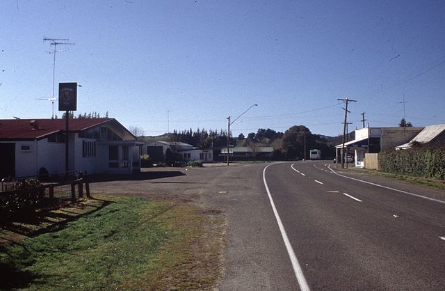
Originally named Te Kapu, Frasertown is a small rural settlement where you turn from the Wairoa road network onto State Highway 38 towards Lake Waikaremoana. It’s your last practical stop before services become increasingly limited.
The Frasertown Tavern is listed as a food and drink option, although opening hours can be limited (particularly outside Friday and Saturday evenings). We recommend checking ahead rather than relying on it as your only option.
Make sure you fuel up in Wairoa, bring drinking water and download maps before continuing, as mobile reception becomes scarce along the route. The cemetery is also noteworthy, holding graves dating back to 1875.
Location: 8.2 km (5 mi) from Wairoa
 © Steffen Sledz on Wikipedia
3. Te Rēinga Falls
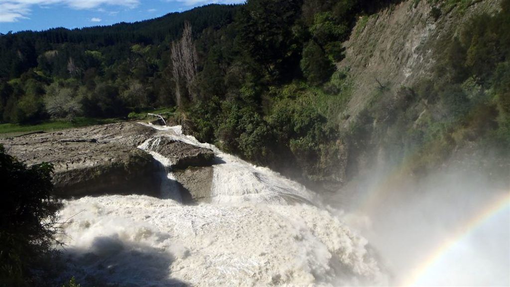
A side route which leads back onto the Tiniroto Road, this is a scenic road through hills and countryside. The Ruakituri Valley is renowned for its trout fishing. At Te Rēinga, the Ruakituri and Hangaroa Rivers meet to form Te Rēinga Falls, a 35 m (115 ft) waterfall accessible via an easy five-minute walk from the picnic area.
The confluence above the falls creates an especially powerful spectacle during or after heavy rain, as the combined flow continues as the Wairoa River. The former viewing platform has been removed; keep children supervised near the lookout.
Note that roads and bridges in the area have experienced storm damage. Check council closures before leaving, as this detour can become inaccessible after flooding.
Location: Te Rēinga Scenic Reserve, approximately 35 km (22 mi) inland from Wairoa via Tiniroto and Ruakituri roads.
 © Department of Conservation
4. Tuai and Lake Whakamarina
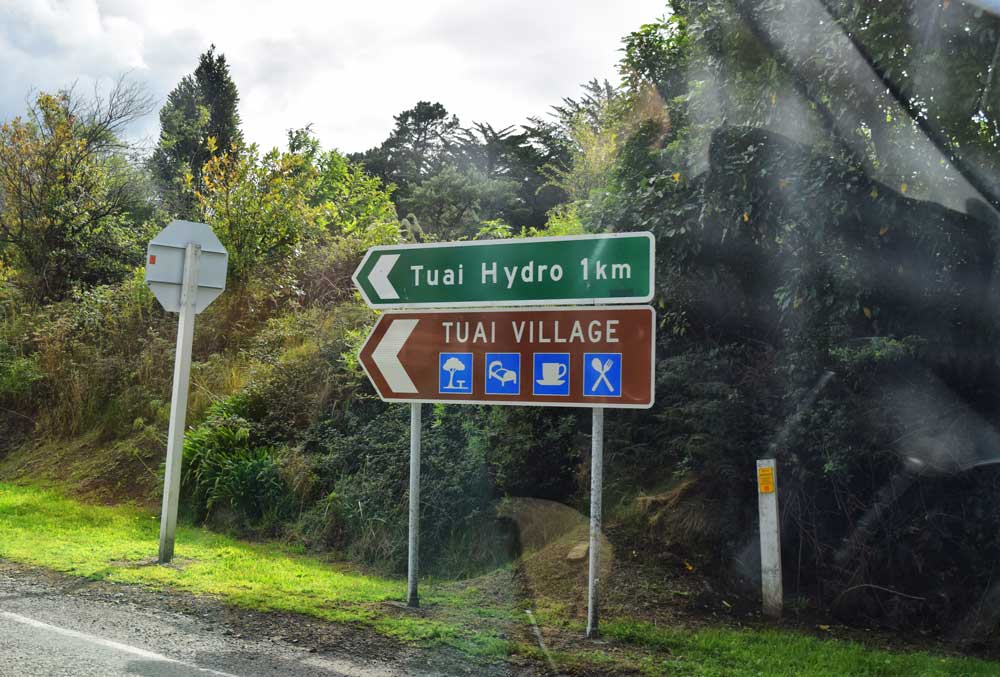
Turn right off State Highway 38 to explore Tuai, a small settlement established during construction of the Waikaremoana hydroelectric scheme. Tuai Power Station opened in 1929 and forms part of a three-station system that channels water from Lake Waikaremoana through Kaitawa, Tuai and Piripaua.
Beside the settlement, Lake Whakamarino (also known as Tuai Lake) is a peaceful hydro lake surrounded by forested hills. The lake is stocked with rainbow and brown trout, making it a worthwhile stop for licensed anglers; note that fishing from motorised boats and using anchors are prohibited.
Even if you’re not fishing, the lakeshore offers attractive scenery and an insight into the engineering history of this remote district. Water levels can change without warning, so stay alert near the shoreline.
Location: 51.1 km (31.8 mi) from Wairoa
 © NZPocketGuide.com
5. Kaitawa Power Station
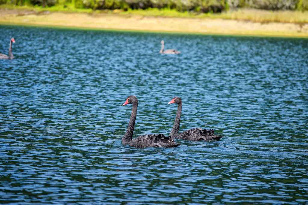
Turn right down to Kaitawa Power Station, part of the 138 MW Waikaremoana Power Scheme which opened in 1948. The station receives water diverted from Lake Waikaremoana before passing it downstream through the wider hydroelectric system.
The Lake Kaitawa Fairy Springs Track provides the main reason to stop here. This one-hour return walk circles part of the small hydro lake, passing mature rimu trees before reaching a translucent green pool where water rises gently through the forest floor (the springs are fed by water leaking naturally through the ancient landslide debris that formed Lake Waikaremoana).
The route includes a gravel road section and is currently classified as advanced, so wear appropriate footwear and check local conditions before heading out.
Location: 54.9 km (34.1 mi) from Wairoa
 © NZPocketGuide.com
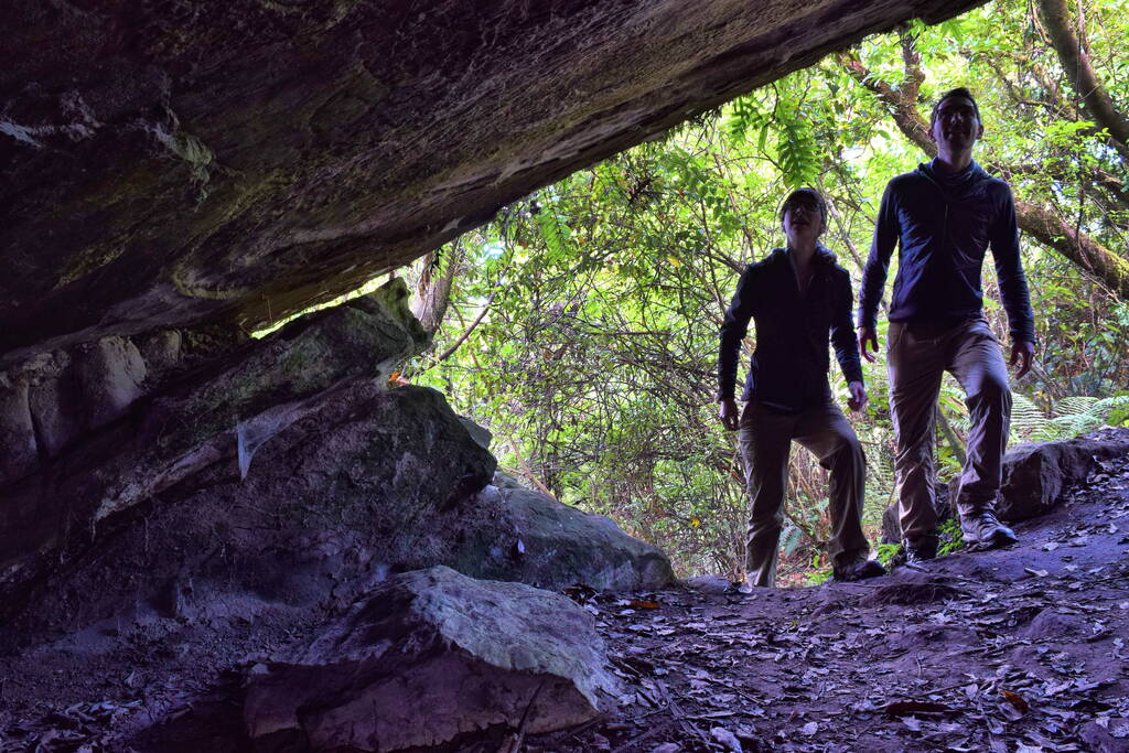
6. Onepoto
[Note: The Onepoto Caves Track is permanently closed. Please check Ngāi Tūhoe (the custodians of Te Urewera) for updates.]
Onepoto is the entrance of the Te Urewera forest and the start of the Lake Waikaremoana Great Walk. There is a car park here with a wonderful view of the lake and access to the boat ramp.
The Great Walk kicks off with a steep climb towards Panekire Hut, so arrive prepared with confirmed hut or campsite bookings, transport arrangements and proper backcountry gear.
Find alternative walks in our 15 Stunning Lake Waikaremoana Walks.
Location: 56.5 km (35.1 mi) from Wairoa
 © NZPocketGuide.com
7. Lou’s Lookout
[Note to Ngāi Tūhoe (the custodians of Te Urewera), Lou’s Lookout is temporarily closed. Please check their website for updates.]
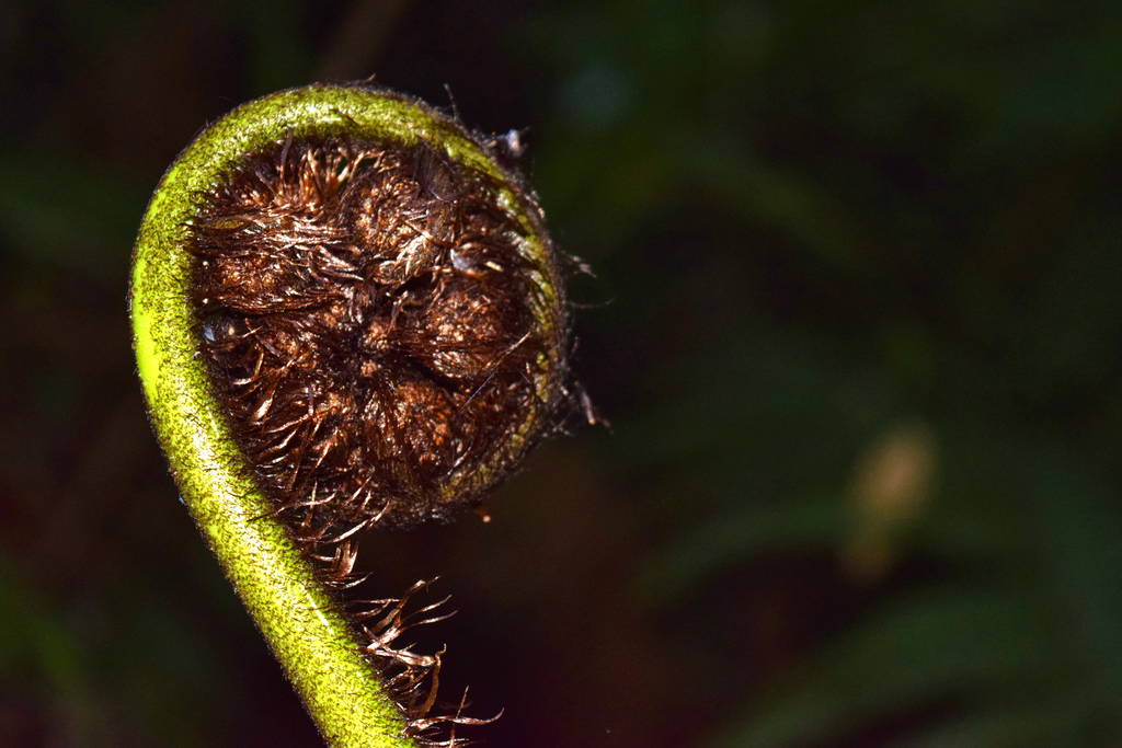
This 45-minute return walk rises through native forest, weaving between rock bluffs and magnificent boulders to reach a viewing platform. Here, you’ll get sweeping views over Lake Waikaremoana, Panekire Bluff and the Te Urewera ranges.
The track crosses part of a massive landslide that tumbled from Ngāmoko around 2,200 years ago. It was developed in the 1960s with help from Lou Dolman, a long-serving police officer based in Tuai, after whom the lookout is named.
Location: 57.9 km (36 mi) from Wairoa
 © NZPocketGuide.com
8. Rosie Bay and the Old Māori Trail
Rosie Bay is a secluded lakeside stop offering peaceful views across Lake Waikaremoana. The small basic campsite provides six non-powered sites for tents and campervans on a first-come, first-served basis (stays limited to three nights).
The sheltered bay makes a pleasant base for fishing, paddling and picnicking away from the busier visitor-centre area. Camping is free, but facilities are basic; arrive with food, drinking water and everything needed for your stay. Dogs are prohibited.
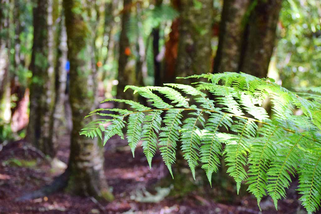
The Old Māori Trail (also known as the Rosie Bay – Lake Kaitawa Track) starts here, following what was once a Māori trail through native bush and grassy clearings to Lake Kaitawa.
Location: 58.9 km (36.6 miles) from Wairoa.
 © NZPocketGuide.com
9. Whaitiri Point
Here is the site of the historic Lakehouse Hotel, which opened in 1900 and operated for decades as the main accommodation beside the lake before closing in 1972 and being demolished five years later.
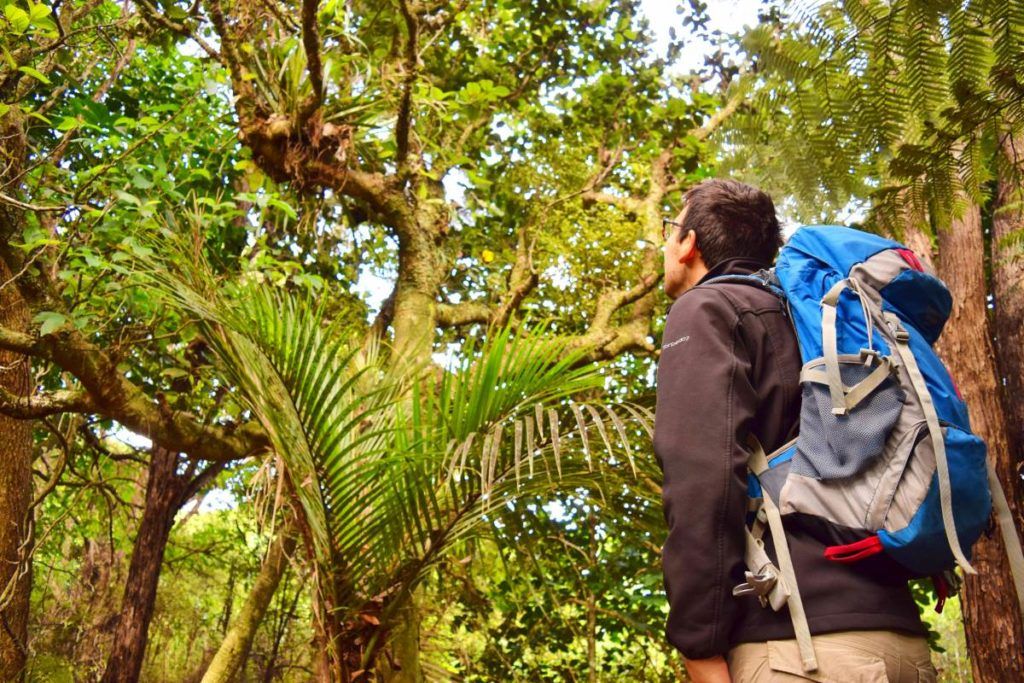
Little remains today, but you can follow the easy Hinau Walk from the rear of Waikaremoana Holiday Park down to Whaitiri Point for attractive views across Lake Waikaremoana. The walk takes approximately 20 minutes one way and offers a much more manageable stop than the longer backcountry routes nearby.
Across SH38, the Ngāmoko Track is currently closed because of subsidence (so don’t attempt it until an official reopening is announced).
Location: 64.8 km (40.3 mi) from Wairoa
 © NZPocketGuide.com
10. Waikaremoana Holiday Park
Stop here for supplies from the shop, peaceful and basic accommodation alongside the lake, information and water taxi bookings for the Great Walk. Waikaremoana Holiday Park is also a great place to stay the night and soak in the wilderness ambience.
The lakeside holiday park at Home Bay offers a range of options, from powered and non-powered campsites to cabins, tourist flats, chalets, a bunkhouse and a family whare. Bookings are required year-round.
Facilities include a communal kitchen and dining room, barbecues, hot showers, coin-operated laundry and limited WiFi. The small shop stocks snacks, coffee, ice and basic supplies, plus petrol and diesel are available. Stock up in Wairoa before arriving; it’s the nearest town with supermarkets.
The adjoining Te Kura Whenua Visitor Centre provides maps and local advice. Tūhoe’s water taxi connects Great Walk trailheads, huts and campsites (book early; spaces are limited). Note that mobile coverage is poor, dogs are prohibited, and you should check current SH38 roadwork alerts before travelling.
Location: 65.8 km (40.9 mi) from Wairoa
 © NZPocketGuide.com


