


1. Greymouth Floodwall to Blaketown Tiphead (30-45 Minutes One Way)
An easy walk within Greymouth town, follow the floodwall alongside the Grey River towards the river mouth.
Features of the walk include a memorial for the 300 men who died in West Coast mining disasters, historic cranes and birdwatching at the sandbar.
It’s worth walking all the way to Blaketown Tiphead, otherwise known as the Southern Breakwater Viewing Platform, by crossing the Preston Road bridge.
The viewpoint offers spectacular views across to Aoraki Mt Cook on a clear day.
See more activities like this in the 10 Free & Cheap Things to Do in Greymouth.
Location: Start opposite the i-SITE
 © Stewart Nimmo - westcoast.co.nz
2. Omutumutu Bush Walk (25-minute Loop)
Get a quick dose of forest right in the Greymouth urban area on the Omotumotu Bush Walk. This 1.5 km (0.9 mi) loop takes about 25 minutes to complete and winds through the last substantial area of native forest remaining in Greymouth.
Along the way, you’ll encounter regenerating bush alive with native flora and birdsong. A brief side diversion leads to a lookout with sweet views over the regrowing forest canopy.
According to locals, a recent upgrade added a sturdy new bridge on the trail, making this urban gem both accessible and welcoming for walkers of all levels.
Location: Marsden Road
 © NZPocketGuide.com
3. Lion’s Walk (10-minute Return)
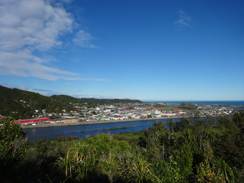
Walk into the Rapahoe Range Scenic Reserve for excellent views of Greymouth, the coastline and the Southern Alps. It’s a steady uphill climb but short enough.
Tucked away in Cobden, Lion’s Walk offers a quick but satisfying out-and-back climb.
This short trail rewards walkers with sweeping coastal panoramas stretching from Greymouth toward the Tasman Sea and Southern Alps.
According to our very own travel manager, Robin, it’s perfect for those seeking a mini adventure with a scenic payoff. The steady uphill push through native bush takes roughly 10 minutes to reach the top, ideal for a quick view fix.
At the summit, you’ll find an inviting lookout deck, perfect for a brief pause or even a mini picnic.
Location: Weld Street, Cobden
 © amanderson2 on Flickr
4. Coal Creek Falls (1-hour Return)
Take this peaceful forest track to see Coal Creek Falls. The well-maintained 3.6 km (2.2 mi) return walk gently descends into the Coal Creek Valley through lush mixed beech-podocarp forest.
At the end, you’ll be rewarded with a wide 7 m (23 ft) cascade spilling into a fern-fringed pool. The falls look particularly impressive after heavy rain – a common occurrence on the West Coast!
This track is perfect for a humid West Coast afternoon, with its dappled light, mossy ferns and birdsong.
Location: From Greymouth, follow State Highway 6 northeast for 10 km (6.2 mi) to Runanga. Turn right down Seddon Street and right into Ballance Street. Park at the car park at the end of the street.
 © Tony Kokshoorn - westcoast.co.nz
5. Brunner Mine Site (20-30 Minutes Return)
The Brunner Mine Site offers a gentle 2 km (1.24 mi) round-trip loop that invites you to step back into New Zealand’s industrial past.
This archaeological site, where the country’s worst mining disaster occurred in 1896, now features restored relics including bee-hive coke ovens, brickworks and tunnel remnants.
Interpretive panels bring the area’s rich coal-mining history to life. The walk, perfect for families or history buffs, takes you over a restored suspension bridge spanning the Grey River.
Most people complete the walk in 20-30 minutes, but allow up to an hour to fully appreciate the heritage and atmosphere.
See more attractions like this in our 10 Interesting Historical Places on the West Coast.
Location: State Highway 7, 11 km (7 mi) east of Greymouth
 © NZPocketGuide.com
6. Point Elizabeth Track (1 Hr 45 Mins One Way)
Get some awesome rugged coastal views and learn about the history of the area on the Point Elizabeth Walkway.
This well-formed 5.5 km (3.4 mi) coastal trail traces a former 19th-century gold-mining water race through coastal bush to dramatic cliff-top viewing platforms.
Along the way, you’ll find serene forest canopies, occasional muddy patches, and those big skies meeting ocean that feel quintessentially West Coast.
According to DOC, it’s an “easy” track, ideal for families looking for a scenic outing with minimal strain.
Location: North Beach Road, Cobden or Rapahoe side just off SH 6
 © westcoast.co.nz
7. Croesus Track (1-2 Days)
The Croesus Track follows an old miners’ pack track with a variety of side trips. The walk features beautiful beech forest, a swing bridge and the Ces Clark Hut (4-5 hours) where you’ll get rewarding views over Lake Brunner and the Southern Alps.
From here, you can either extend your walk 45 minutes to Garden Gully for historic mining relics or an 8-hour return hike to Croesus Knob for more spectacular views.
Walkers staying in the Ces Clark Hut can extend their walk the next day to Barrytown (4-5 hours).
Location: 30 km (19 mi) northeast of Greymouth. Drive 1 km (0.6 mi) past Blackball, follow the road to Roa mine with a signpost pointing right to the Smoke-ho car park and to the start of Croesus Track.
 © Allie_Caulfield on Flickr
8. Nelson Creek Walks (20-40 Minutes Return)
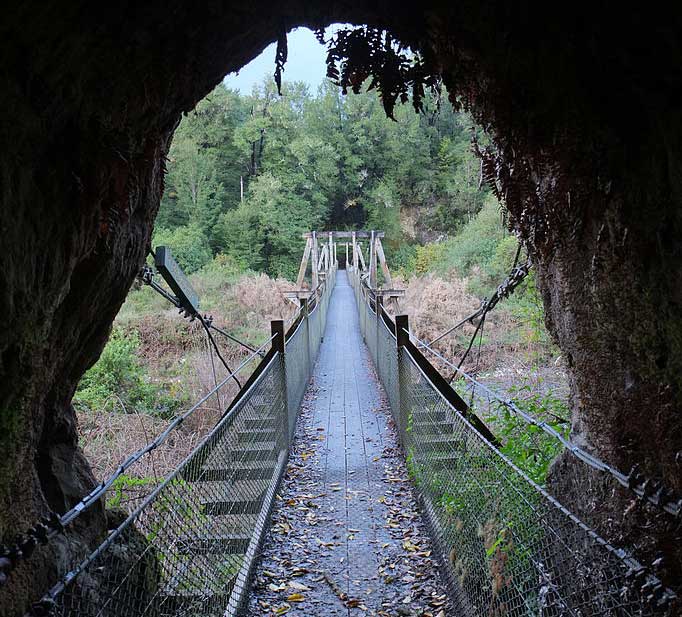
Near the town of Ngahere, explore the fascinating mining location of Nelson Creek. A number of walks can be found here taking you through tunnels, to see historic water races and gold panning areas.
Choose from the Callaghans Track (30 minutes one way) to a lookout point over forested valleys, the Tailrace Walk (20 minutes return) to see old gold workings, and the Colls Dam Walk (40 minutes loop) with a lookout over the dam.
Location: 31 km (19 mi) east of Greymouth, State Highway 7 then Nelson Creek Road.
 © Pseudopanax at English Wikipedia
9. King Domain Walk (1 Hr 30 Mins Return)
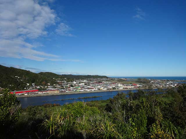
Another fantastic walk accessible from Greymouth town, the King Domain Walk offers a rewarding uphill zig-zag along Mount Street.
Four progressively higher lookouts await, each unveiling sweeping vistas, first of downtown Greymouth and the Grey River, then broad panoramas of the valley, Cobden, and beyond.
The well-formed track leads you into native bush, with strategically placed benches for pausing and photos. Be aware that some areas can be slippery or muddy after rain, so watch your footing.
Location: Mount Street
 © amanderson2 on Flickr
10. Rakaitane Track (45-minute Loop)
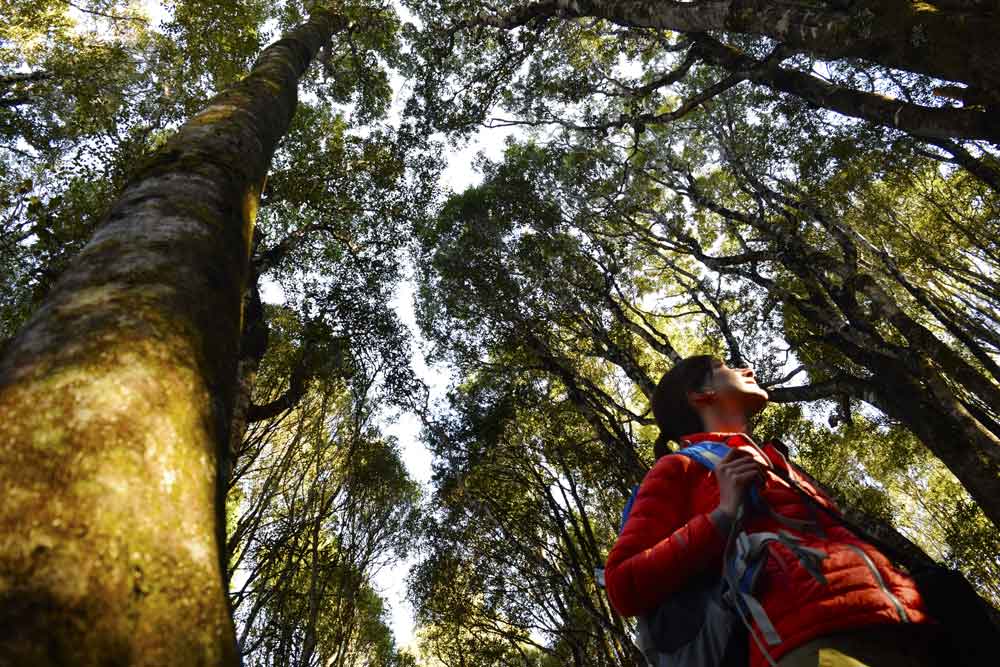
Finally, for more fantastic hiking and walking trails, we recommend taking a trip to Lake Brunner and Moana. One of the highlights is the Rakaitane Track, a delightfully easy 45-minute loop through stunning forest between Lake Brunner and the Arnold River.
The track begins at the lakeside car park and crosses a charming suspension footbridge over the Arnold River.
You’ll stroll through riverside forest, transitioning from kamahi groves to a terrace of regenerating kahikatea draped in moss and ferns, before looping back through mature podocarp stands of miro and rimu.
Check out 10 Hikes Around Lake Brunner for more hikes.
Location: 37 km (23 mi) east of Greymouth on the Arnold Valley Road. Start from the Arnold River swingbridge, Moana.
 © NZPocketGuide.com


